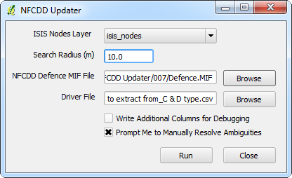
NFCDD Updater is a QGIS extension developed by Lutra Consulting for Halcrow Group to automate the process of updating geometry and attribute data in the Environment Agency's National Flood and Coastal Defence Database (NFCDD).
As part of their Ravensbourne Raised Defences project, Halcrow were required to update flood defence crest level and standard of protection data for defence assets along the rivers Ravensbourne and Quaggy, south-east London based on the results from extensive ISIS modelling.
The updates were originally carried out as a manual GIS task, requiring GIS technicians to edit NFCDD geometry and attributes manually. The editing was prone to human error and was a complex and time-consuming process.
Lutra Consulting were commissioned to develop NFCDD Updater - a bespoke extension (plugin) to the free and open-source GIS platform QGIS. NFCDD Updater automates the task of updating NFCDD while allowing the user to maintain a high level of control over the process.
NFCDD Updater performs the following tasks:
- Imports NFCDD dataset and reads user control file
- Creates new defence features between ISIS nodes of interest based on existing geometry
- Populates the new defence features with information from the user control file
- Performs any necessary update of attributes to neighbouring 'parent' defence features (length etc.)
- Exports the updated table in MapInfo format, ready to be imported back into NFCDD
NFCDD Updater was designed to be simple to use and to allow user-interaction where required, for example, prompting the user to visually select a single defence line to update when more than one candidate defence line has been selected for updating automatically.
NFCDD Updater performed very well in terms of reducing manual GIS work required to complete the project and allowed approximately 30% of the project budget to be saved. With minor modifications, NFCDD updater can be updated to automate manual GIS tasks on other Halcrow projects.
For more information on NFCDD Updater or to find out more about the development of bespoke QGIS plugins, contact Peter Wells.
You may also like...
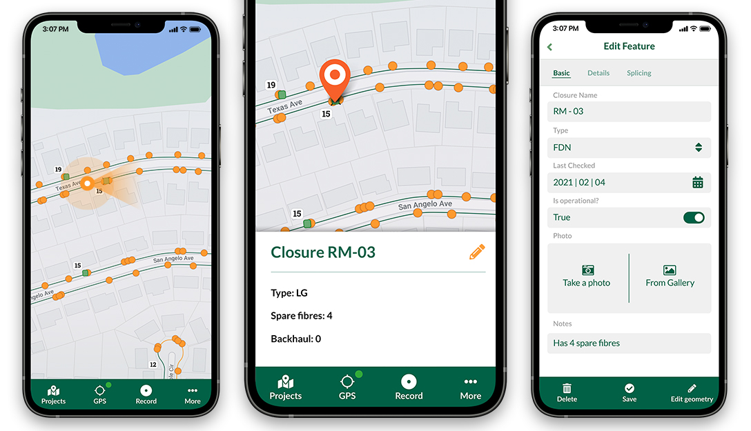
Mergin Maps, a field data collection app based on QGIS. Mergin Maps makes field work easy with its simple interface and cloud-based sync. Available on Android, iOS and Windows.