Following the popularity of the AutoTrace plugin, we received a number of requests for additional features and to incorporate the tool into the main Advanced Digitising tools in QGIS.
Funding for the work was generously raised with the help of the community in 2015 and the feature landed in QGIS 2.14
How to use Trace Digitising
Check out the Trace Digitising in QGIS for detailed instructions on how to use the tool.
Key features
The trace tool:
- uses Dijkstra’s shortest path algorithm to find traceable routes
- can trace routes over multiple distinct features
- can be used with Advanced Digitising tools (e.g. reshaping)
- can be enabled and disabled by pressing T on your keyboard while digitising
- is fast and easy to use
The following video demonstrates how to use the tracing tool:
This video shows how you can make use of tracing while reshaping a polygon:
Sponsors
The project was kindly sponsored by the QGIS community. Special thanks to all those who contributed towards the development of this tool:
- The Royal Borough of Windsor and Maidenhead
- Neath Port Talbot County Borough Council
- Ujaval Gandhi
- Surrey Heath Borough Council
- Matias Arnold
- Northumberland National Park Authority
- Buccleuch Estates Limited
- Countryscape
You may also like...
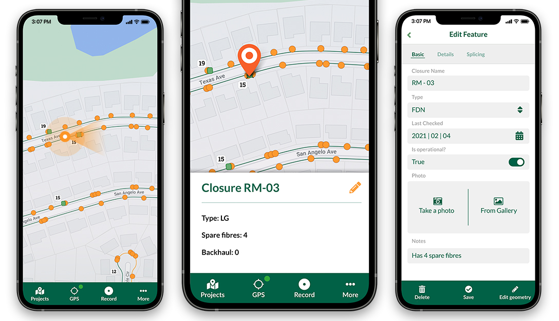
Mergin Maps, a field data collection app based on QGIS. Mergin Maps makes field work easy with its simple interface and cloud-based sync. Available on Android, iOS and Windows.


Posted by
Saber Razmjooei, Martin Dobias