One of the cool outcomes of our recent QGIS Legend Refactoring work was the ability to add "visibility presets". This feature allows users to save and load preset layer and group visibility settings.
First select the layers and groups, you'd like to manage visibility presets for. Now click
at the top of the Layers panel and select Add preset ... A new window will appear. Enter a name for the preset and click OK. Next time you click
you should see the saved presets. The presets also save the visibility of categories in each layer.
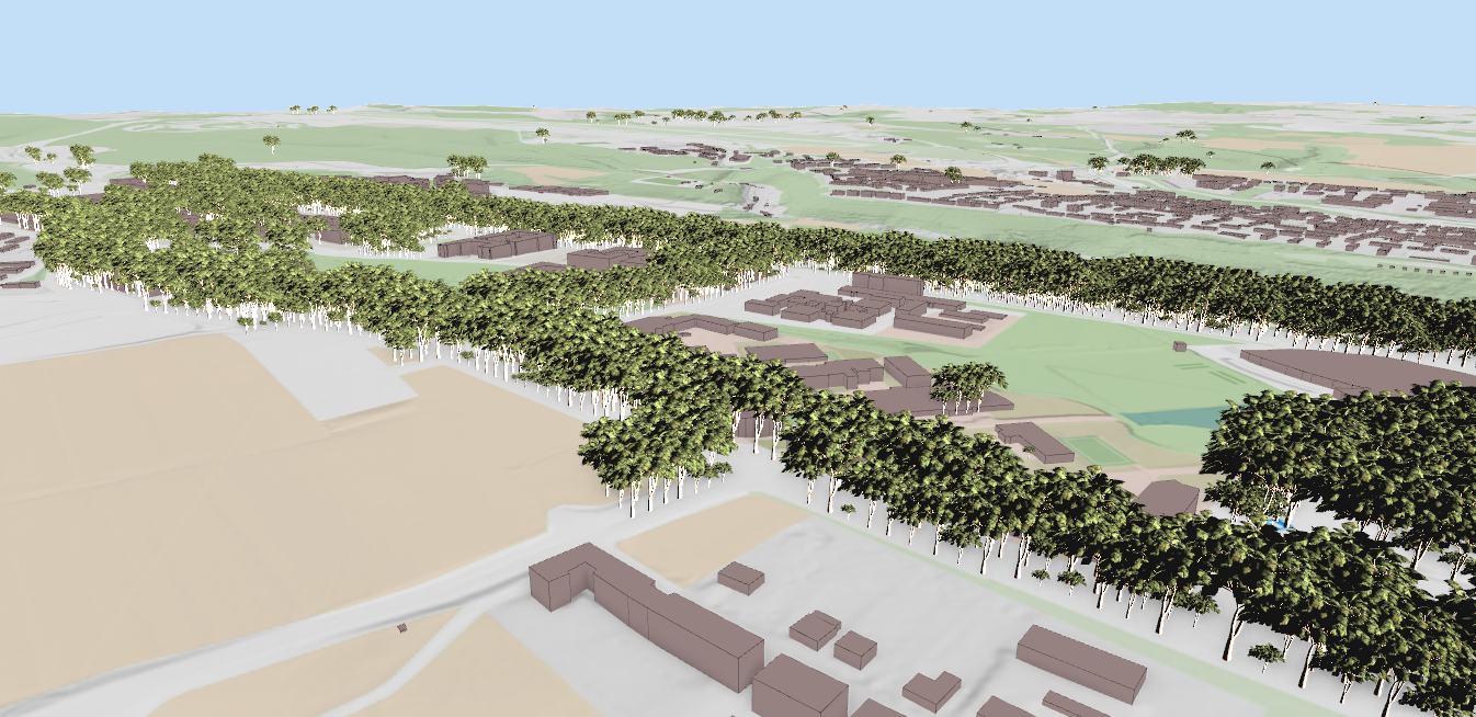
In the video below, we create two presets. One for a specific site location and another zoomed to the outline of Great Britain which will be used as an overview in the print composer.
The print composer now allows multiple map windows, each locked to a different layer visibility preset. This means a single map composer can show map windows with different layer arrangements.
In the video below, one preset is used for the main map and the other for an overview:
Let's make the QGIS work for you
Lutra Consulting is a QGIS-focused expert provider of geospatial software development, consulting, training, and support services.