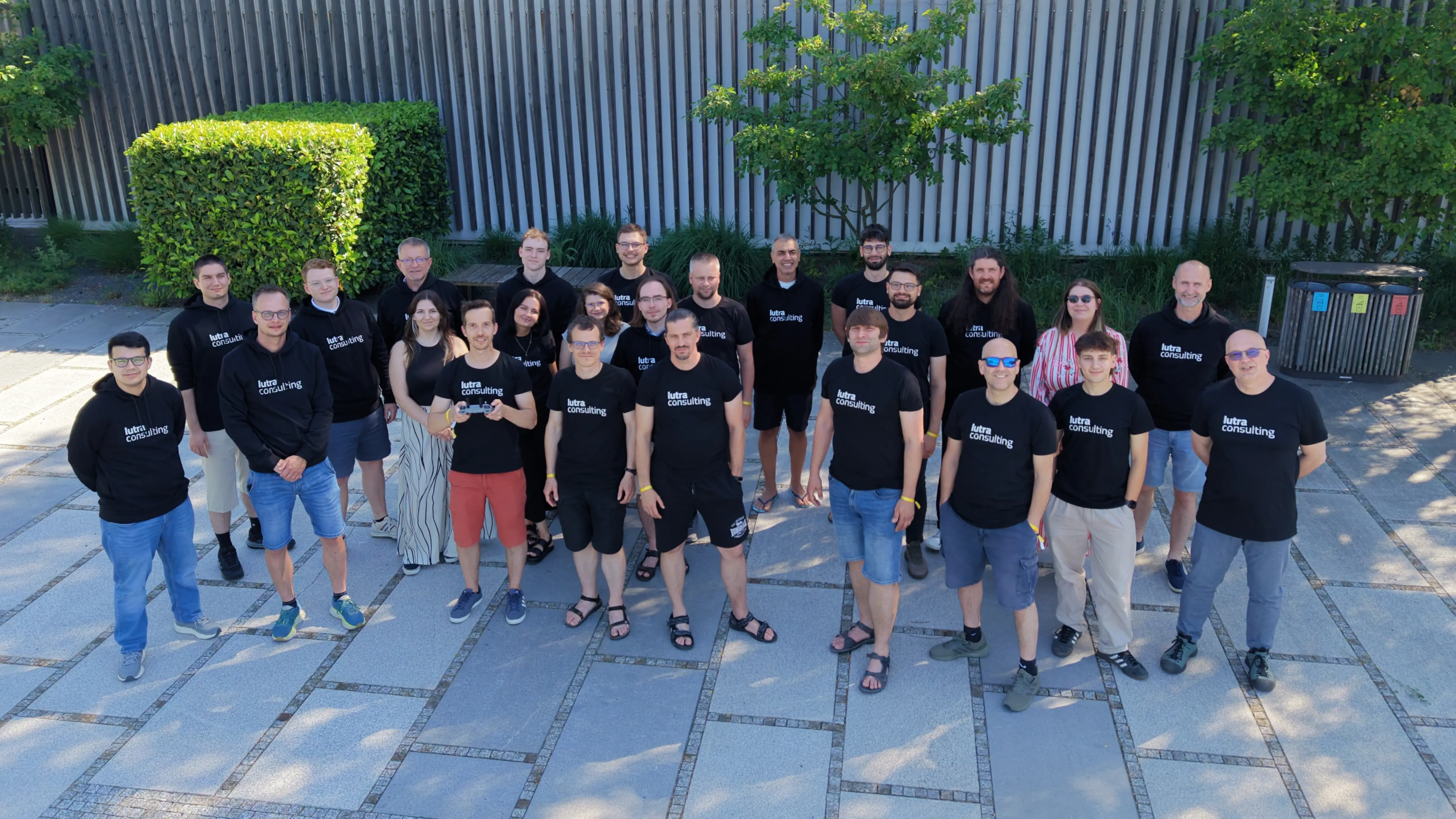
We are on a mission to bring open-source GIS to everyone
Our story started in 2009 when Saber Razmjooei and Peter Wells created Lutra Consulting to support QGIS and open source adoption within the GIS world. Now, we focus our efforts on the development of our Mergin Maps platform and QGIS, while also providing expert support and training for open source GIS solutions.
Lutra Consulting provides consulting, migration, software development, training and commercial support services for QGIS, Mergin Maps and other open source GIS projects
Our mission
Making the benefits and power of open source GIS solutions available to everyone.
Our vision
To accelerate the adoption of open source GIS to become the first choice spatial solution for everyone.
Values
We strive to be a trustworthy partner for our customers, developing good communication to give them the freedom to benefit from flexible, creative solutions by making open-source GIS technologies accessible and beneficial to everyone.
Registered Offices
United Kingdom
LUTRA CONSULTING LIMITED
160 Eureka Park Upper Pemberton Kennington
Ashford TN25 4AZ
Slovakia
LUTRA CONSULTING SK s.r.o.
Obchodná 594/66
Bratislava 811 06
Let's make QGIS work for you
Lutra Consulting is a QGIS-focused expert provider of geospatial software development, consulting, training, and support services.
By clicking “Accept All Cookies”, you agree to the storing of cookies on your device to enhance site navigation, analyze site usage, and assist in our marketing efforts. View our Cookie Policy for more information. Deny cookies here.