A hands-on workshop by thriveGEO and Lutra Consulting.
Recent developments in QGIS allow for an efficient handling of multi-dimensional meteorological data and supports the import of meteorological data formats.
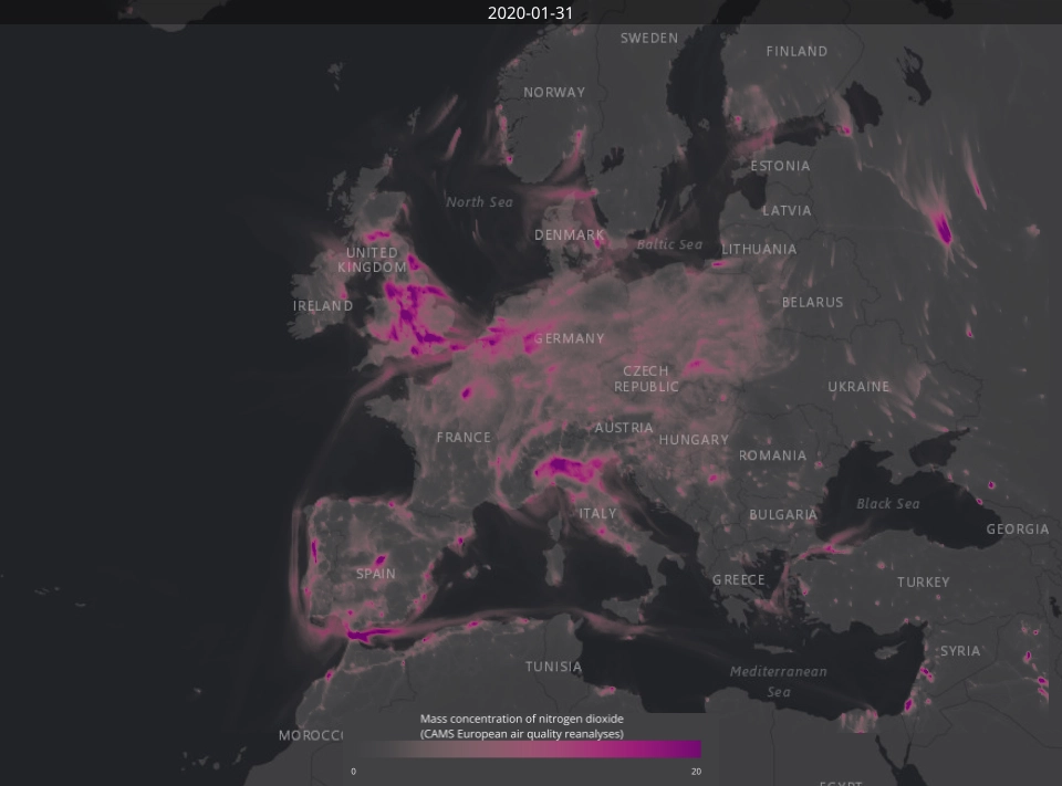
This 2-day workshop will give you key knowledge and practical skills to create impactful visualisations of meteorological data.
Designed for practitioners with basic GIS experience and no coding background, all are welcome to this course. Plus, workshop participants can obtain an official QGIS certificate!
What you will learn
Understand important features of meteorological data types and formats
Access and download meteorological data from different data providers
Import and manage meteorological data with QGIS
Practice techniques for creating thematic maps (e.g. choropleth map, graduated symbols, etc.) to visualise meteorological data
Create animations to visualise temporal changes in meteorological data
Work with vertical controllers to interact with multi-dimensional data cubes
Course structure
Day 1 - 9:00 to 17:00 CEST - Intro to meteorological data
Part 1: Introduction to meteorological data types (model forecasts, reanalysis, satellite observations) and atmospheric variables
Part 2: Meteorological data providers and data formats
Part 3: Discovering and accessing meteorological data from ECMWF, NASA, NOAA and NCEI
Day 2 - 9:00 to 17:00 CEST - Meteorological data meets QGIS
Part 1: Introduction to QGIS and its functionalities
Part 2: Importing and managing (netCDF and GRIB) data in QGIS
Part 3: Creating thematic maps
Part 4: Create animations of meteorological time-series data
Are you a company or organisation interested in group training? Special group pricing is available. Contact us regarding group training for larger numbers of participants.
Register for the training
Or ask a question regarding syllabus or any specific topic.
Thanks, your message is on its way. We'll get back to you about the training shortly.
Something went wrong and your registration didn't go through. Please try again in a moment. If it keeps happening, email us at info@lutraconsulting.co.uk and we'll get you sorted.
By clicking “Accept All Cookies”, you agree to the storing of cookies on your device to enhance site navigation, analyze site usage, and assist in our marketing efforts. View our Cookie Policy for more information. Deny cookies here.