We are delighted to announce that in collaboration with North Road and Hobu, we are running a crowdfunding campaign to implement native support for point cloud data in QGIS.

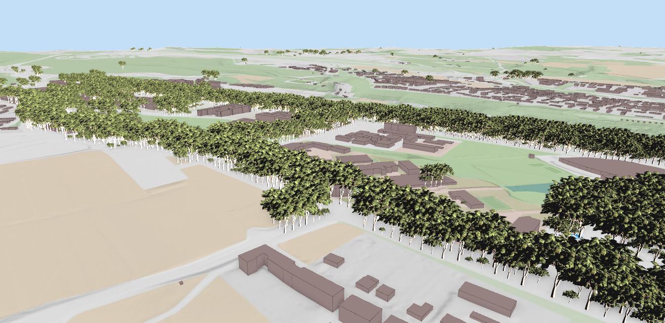
With the proposed changes, you will be able to load, style and visualise your point cloud data in QGIS in 2D and 3D map views.
The work will be carried out by the trusted and highly skilled developers across PDAL and QGIS community (Lutra Consulting, North Road and Hobu) who have been at the forefront of some of the exciting features in Open Source projects.
If you or your organisation are point cloud data users, this is your chance to bring native support for your data in QGIS. With this work, you will be able to overlay your point cloud data to your other data (vector/raster). The addition of native support for point cloud data in QGIS will pave the way to support analytical tools for point cloud data in future.
The target amount is 49,000 € and the campaign will be active until 15 October 2020.
Please have a look at the dedicated page point cloud data support in QGIS for further details and help us spread the word!
Let's make the QGIS work for you
Lutra Consulting is a QGIS-focused expert provider of geospatial software development, consulting, training, and support services.