Lutra Consulting has been the primary driver of QGIS 3D since version 3.0, delivering terrain rendering, point clouds, 3D tiles, globe view, and more through sustained core development.
Native. Mainline. Maintained. We specialise in deep-level development for the QGIS 3D engine. Every feature we build is a permanent part of the official release, providing a stable foundation for the entire global community.
DEM terrain with draped imagery
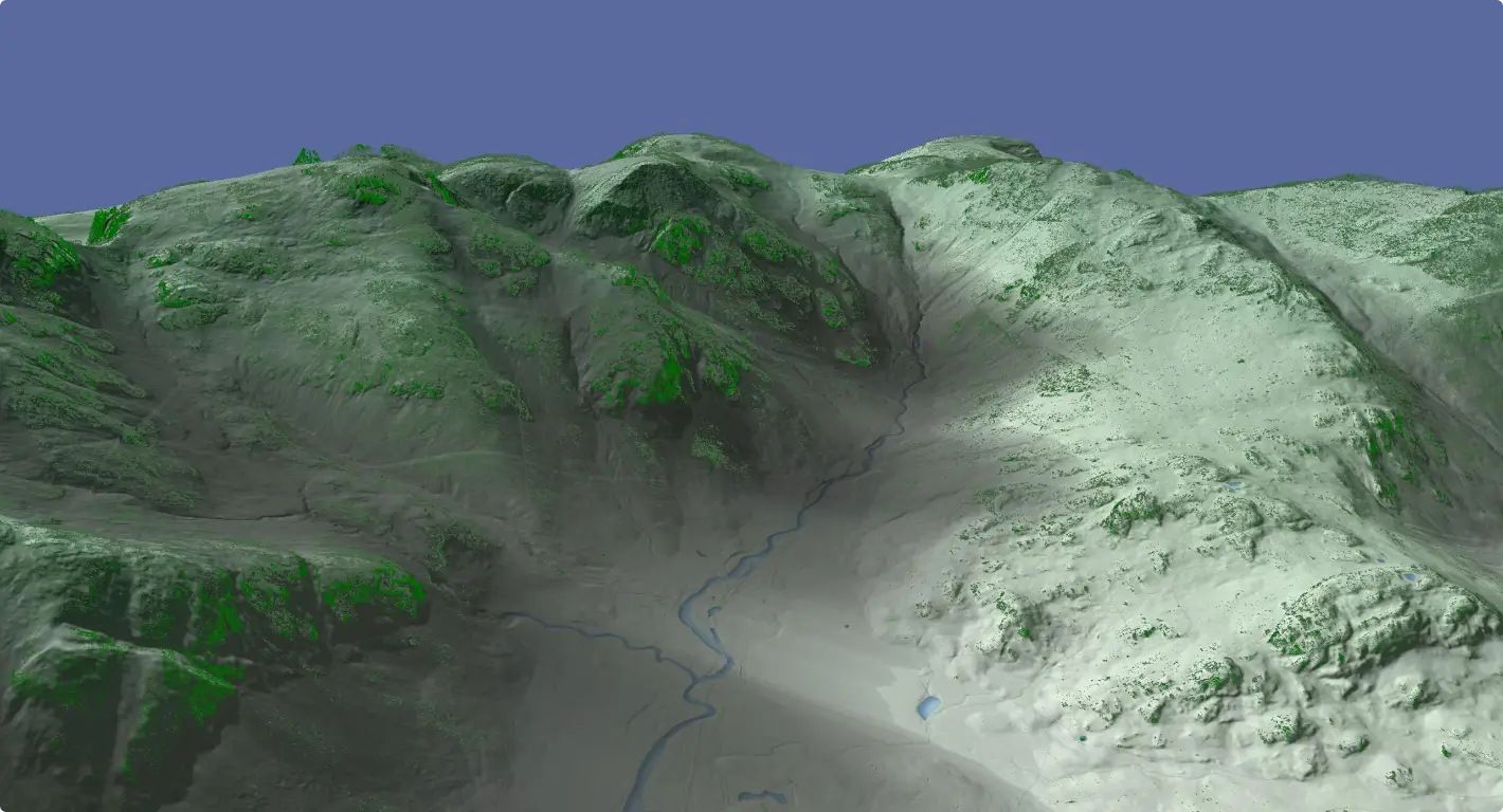
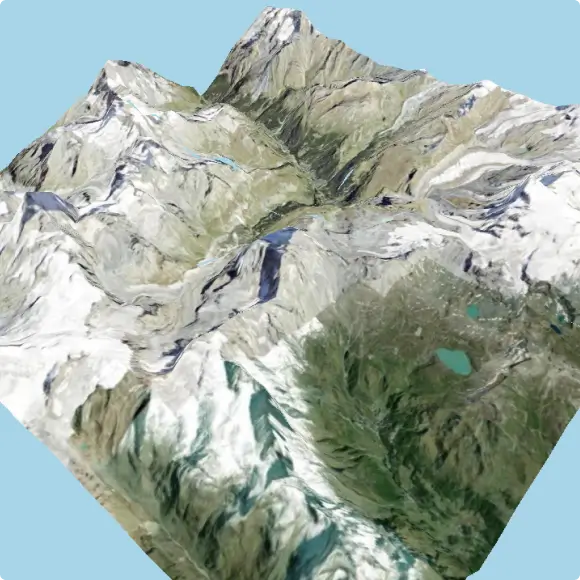
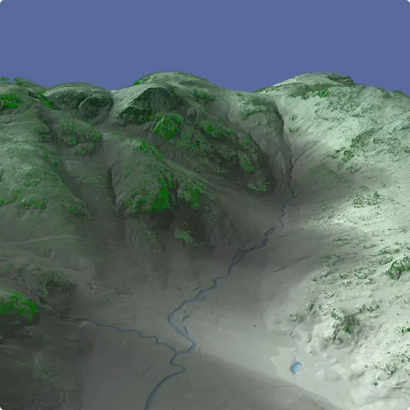
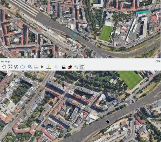
The foundational terrain engine renders elevation models at any resolution with satellite, raster, or map-theme textures draped on top. Level-of-detail tile loading keeps the scene performant even at continental extents.
Online XYZ tile providers as terrain texture (ESRI, Google, OSM)
Configurable vertical exaggeration and tile resolution
Map theme switching without relaunching the 3D view
Sky dome, directional and point light sources
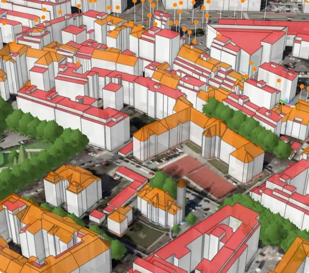
Extruded geometry with ambient occlusion
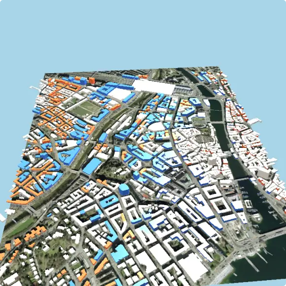
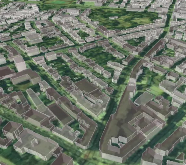
Any polygon layer can be extruded in 3D using a fixed height or a data-driven expression. Ambient occlusion adds physically-based contact shadows between structures, dramatically improving depth perception in dense urban scenes.
Phong, Gooch (non-photorealistic), and PBR material models
Screen-space ambient occlusion (SSAO) with configurable radius and intensity
Back-face rendering for solid closed geometry
Rule-based 3D rendering
Mirror the power of 2D rule-based symbology in 3D. Apply completely different symbols, materials, and heights to features in the same layer based on attribute filters, no layer duplication required.
Arbitrary QGIS expression filters per rule
Per-rule material overrides (colour, shininess, transparency)
Nested rule trees with else-fallback rules
Compatible with all polygon, line, and point 3D symbol types
Native LiDAR & point cloud support
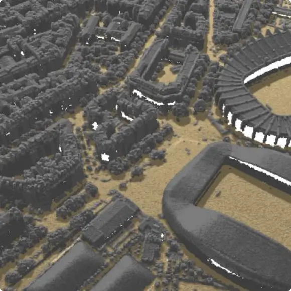
QGIS natively reads EPT, COPC, and LAZ files and renders them in 3D with full classification colouring, colour ramps, and per-point attribute styling. Virtual Point Cloud (VPC) makes terabyte-scale surveys manageable on standard workstations.
Elevation profile cross-sections through point cloud and vector data
OGC 3D tiles streaming & globe view
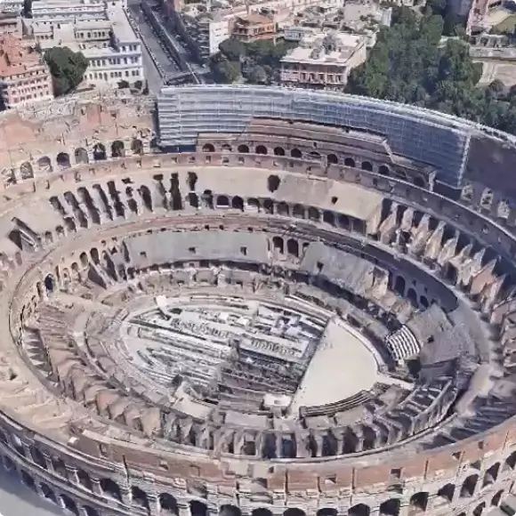
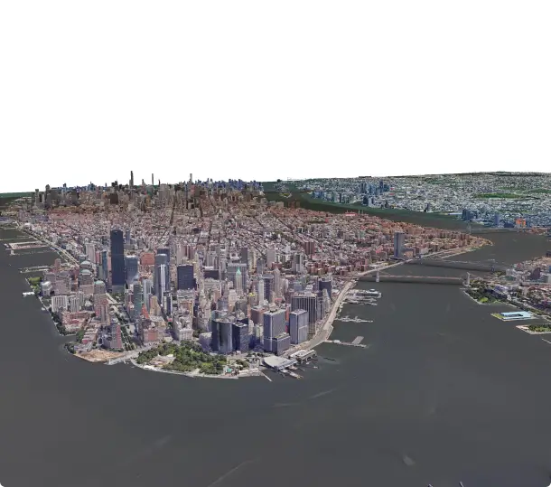
Stream photogrammetry models, city-scale CityGML exports, and Google 3D tiles directly into QGIS without converting or pre-processing. The globe view mode renders the full spherical Earth, enabling planetary-scale digital twin workflows.
OGC 3D tiles 1.1 with implicit tiling and composite tiles
ESRI I3S / scene layer provider (SLPK files and REST servers)
Draco-compressed and glTF 2.0 geometry support
Globe view with floating-point precision via dynamic origin shifting
Google photorealistic 3D tiles integration
Advanced material models
Choose from multiple lighting and material models depending on your visualisation goal, from photorealistic PBR to the stylised cool-to-warm shading used in technical illustration and architecture.
Phong — ambient + diffuse + specular with shininess control
PBR metallic-roughness — physically-based rendering for realistic surfaces
Texture mapping from raster data or embedded images
Per-feature opacity and blending
Crowdfunding campaigns
Each campaign defined a roadmap, secured community funding, and delivered every committed feature into the QGIS main branch on schedule.
More QGIS 3D
In early 2018, fresh off shipping the first 3D map view in QGIS 3.0, Lutra ran a follow-up campaign to go deeper. The goal was to add the features that turn a proof-of-concept into something practical: print layout support for 3D scenes, keyframe-based camera animation, rule-based 3D rendering, skybox backgrounds, configurable lighting, and global terrain from online tile providers. It was a focused campaign — less about foundations, more about closing the gap between what QGIS 3D could do and what users actually needed.
Point cloud processing & 3D enhancements
The 2022 campaign brought improvements to QGIS's 3D map view, delivered in collaboration with North Road. The 3D view gained spatial extent limiting useful when working with global background layers that would otherwise slow rendering alongside a reworked measurement tool, more intuitive camera controls, and a tidied-up configuration dialog.
QGIS 3D for open source digital twins
Lutra and North Road ran a campaign to push QGIS 3D toward proper digital twin use cases. The campaign delivered ESRI I3S Scene Layer support, instanced rendering for faster 3D model performance, data-defined symbol positioning, and orthographic projection for cross-section views. On the point cloud side, it added height-above-ground calculations, ground classification, and remote virtual point cloud support. Targeted at QGIS 4.0 and 4.2, it marked a clear step from 3D as a visualisation add-on to 3D as a first-class part of the platform.
Our expertise in QGIS 3D development
The Creators of QGIS 3D
Lutra wrote the original QGIS 3D map view and have been a core contributor ever since. From the initial renderer to point cloud support and digital twin tooling, we have led the development of QGIS 3D through multiple funded projects. If you need 3D geospatial work done in QGIS, you are talking to the team that started it.
Built for QGIS Core
Our work ships directly into QGIS core, used by hundreds of thousands of people worldwide. We work closely with other leading QGIS developers, including North Road, to ensure the code meets the quality and standards the project demands.
Solving Advanced Geospatial Challenges
Globe-scale rendering, floating-point precision at planetary scale, glTF mesh transcoding, OGC standards compliance — these are architecturally complex problems that required novel engineering. We have a demonstrated track record of tackling and shipping them on time.
End-to-End Development & APIs
We handle everything from scoping to code to merge — and where it makes sense, we expose APIs so clients can build their own plugins and tools on top of what we deliver.
Let us improve your 3D workflow in QGIS
Whether you need a specific feature in core QGIS, a point cloud workflow improved, or a digital twin pipeline built on open source tooling — get in touch to discuss co-funding, bespoke development, or a support contract.
By clicking “Accept All Cookies”, you agree to the storing of cookies on your device to enhance site navigation, analyze site usage, and assist in our marketing efforts. View our Cookie Policy for more information. Deny cookies here.