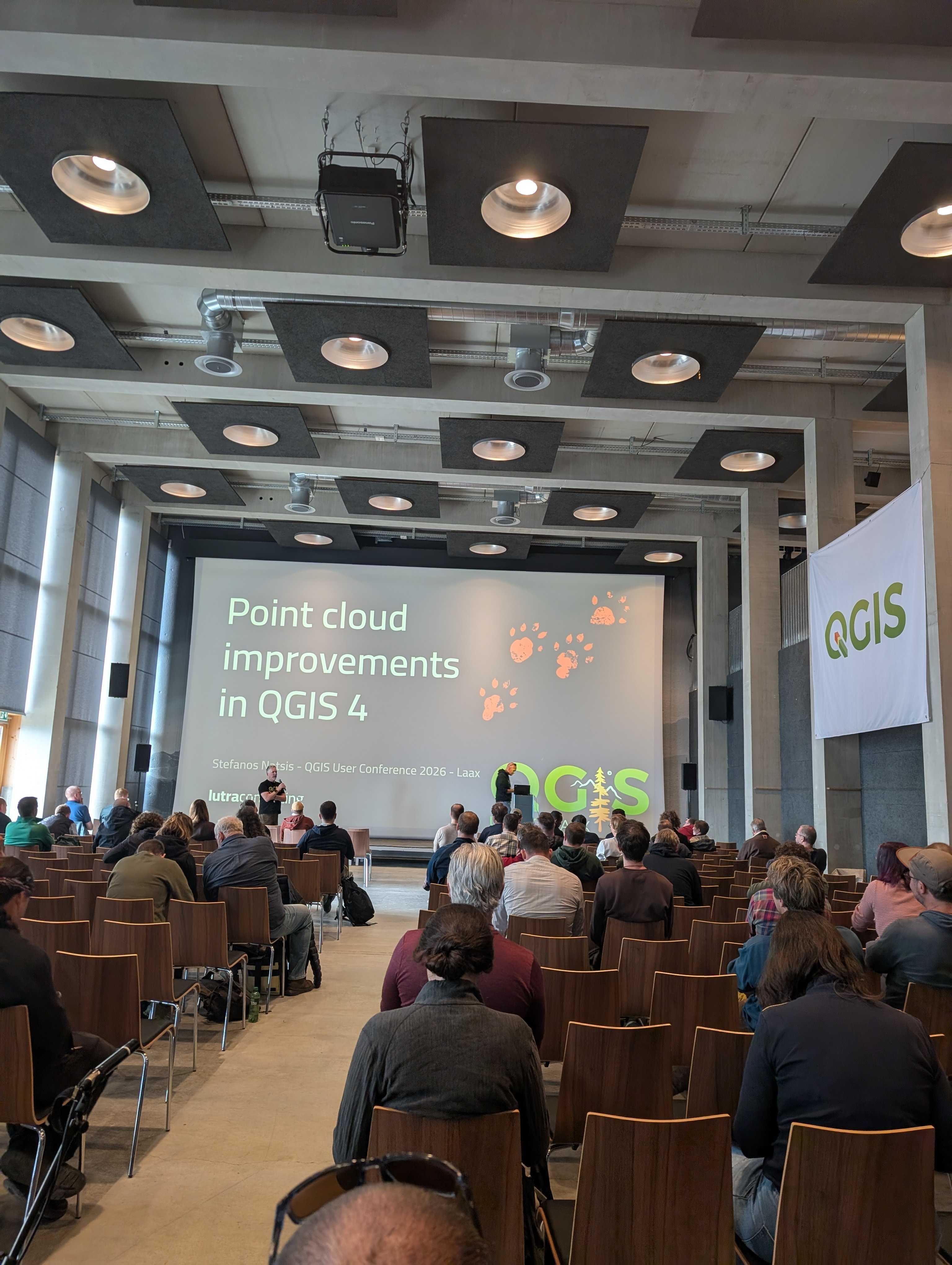
Together with North Road, we have launched a new crowdfunding campaign: QGIS 3D: Reality Capture, Animation & More. Our goal is to raise 85,000 EUR by 7 December 2026 and deliver the new features across the QGIS releases of 2027.
This is our sixth campaign focused on QGIS 3D. The previous five turned QGIS into a serious tool for 3D data, from point clouds to open source digital twins. This time we want to bring state-of-the-art reality capture into QGIS and give animation support a major upgrade.
3D Gaussian Splatting (3DGS). Gaussian Splatting is a reality capture technique introduced in 2023. Instead of a triangular mesh, it represents a scene as millions of small 3D ellipsoids, which capture thin, reflective and semi-transparent objects far better than classic photogrammetry. A set of ordinary photos, for example from a drone, is enough to create one. We will add support for 3DGS data encoded as 3D Tiles (using the new KHR Gaussian splatting extension) on top of QGIS tiled scene layers, and render it in both 2D and 3D map views, right alongside the rest of your geospatial data.
Atmospheric scattering. Building on the rendering improvements in QGIS 4.2, QGIS will model the sky and atmosphere automatically according to the time of day, from dawn to night. Distant objects will fade realistically, which makes depth and distance in a scene much easier to read. The modelled atmosphere will also drive the environmental lighting, so reflective materials match the sky.
Scene presets. Not every 3D map should look photorealistic. A new choice of presets will set up a scene either in a CAD/BIM style, where every feature is clearly visible, or in a Realistic style with accurate shadows and rich lighting. Users can still fine-tune everything afterwards.
Animation for 2D and 3D maps. Creating map animations in QGIS today is fiddly. We will introduce a flexible keyframe system with a user-friendly editor, independent keyframes for properties such as scale, rotation or camera position, ready-made templates like camera orbits and 360° pans, and native video export directly from QGIS.
Identify tool improvements. Identifying and highlighting features in 3D views will also work for points shown as billboards, basic 3D shapes or custom 3D models, and for lines rendered as simple lines.
Gamepad control. Navigate 3D scenes with PlayStation DualSense, Xbox or other gamepads, with settings for sensitivity and button mapping. In our testing, moving through a 3D map this way is much easier than with keyboard and mouse.
Pledging closes on 7. December 2026. Development starts once the 85,000 EUR target is reached, and we aim to ship the features in QGIS 4.6, 4.8 and 4.10 during 2027.
Pledging is simple and risk-free:
If you are based in Australia, North Road can help you pledge locally. If your organisation cannot take part in crowdfunding, we are also happy to arrange a private contract covering some of the features.
This project can only go ahead with your support. If Gaussian Splatting, realistic 3D scenes or easy map animations would make a difference to your work, now is the time to back them.
Pledge your support before 7. December 2026, or read the full campaign details, deliverables and examples on our crowdfunding page.
Can't contribute financially? Sharing this post with your colleagues and the QGIS community helps just as much. For any questions, contact our colleague Saber Razmjooei.
Let's make the QGIS work for you
Lutra Consulting is a QGIS-focused expert provider of geospatial software development, consulting, training, and support services.