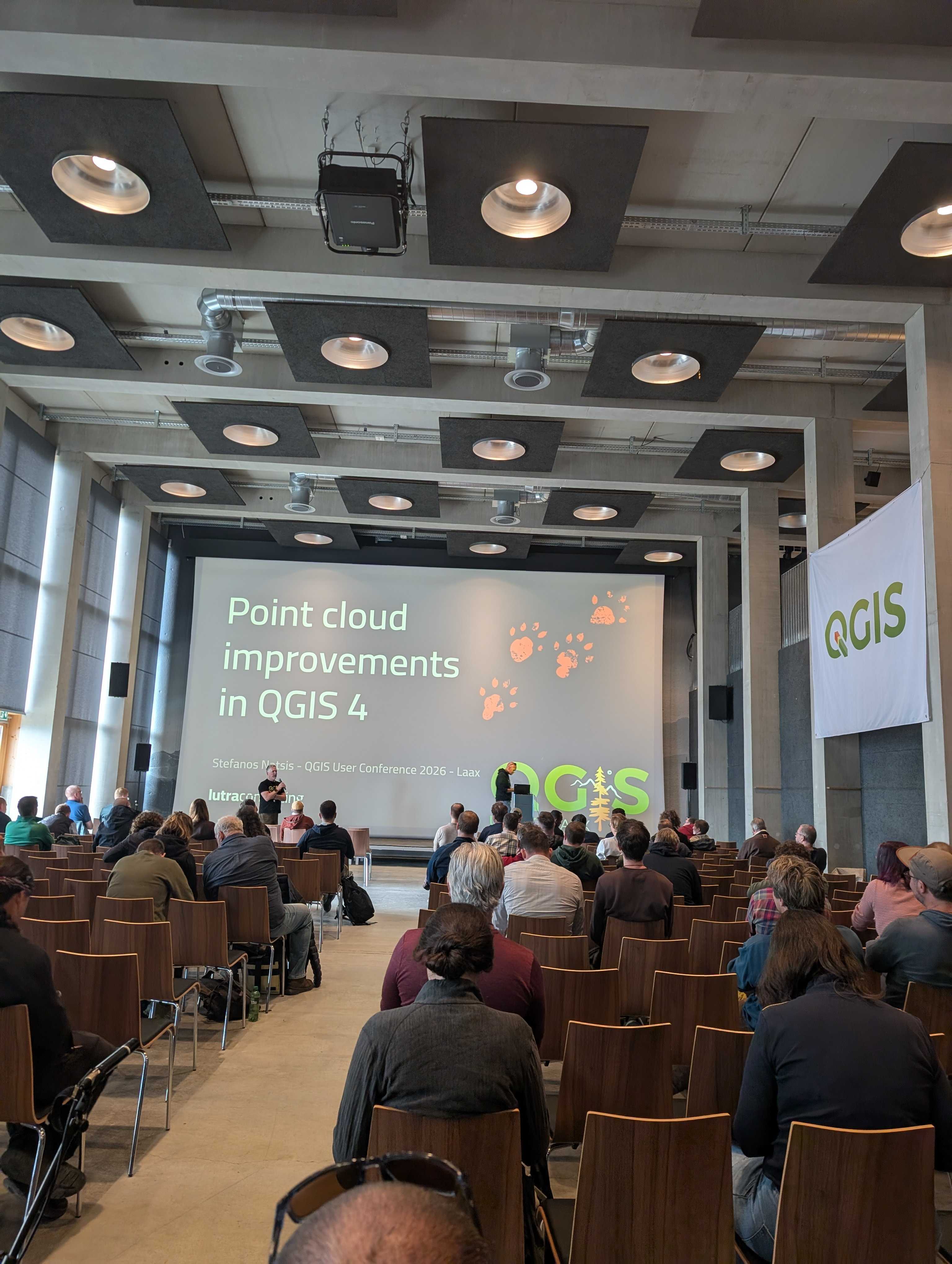
We recently returned from an incredible three days at V Spotkanie Użytkowników QGIS 2026 in Łódź. Located right in the centre of Poland, it was the perfect gathering point for the open-source GIS community. This year, attendance grew from 400 to 500 passion-driven people, filling the gorgeous, modern new faculty building with immense energy. As regular attendees, seeing this community expand and thrive truly warms our hearts.
Lutra Consulting was proud to support the event as a gold sponsor. Our colleague Radosław Pasiok kept busy by delivering two insightful presentations and hosting a highly successful workshop. One highlighting the latest updates to Mergin Maps and another sharing best practices for efficient QGIS project management. He also hosted a workshop on advanced spatial data analysis techniques, guiding a group of eager learners through practical exercises to help them master their complex QGIS workflows. The workshop drew a fantastic crowd of eager learners who wanted to master their QGIS workflows. On the cutting edge of visualization, Radosław took the stage to explore how QGIS is rapidly transforming into a robust, open platform for Digital Twins. He walked the audience through 3D developments in QGIS, focusing on native support for 3D Tiles, dense point clouds, global views, and ESRI I3S integrations. By showing how to optimize the rendering of massive, complex datasets and use advanced 3D styling, the presentation made it clear that QGIS is no longer just a flat, 2D mapping tool. Instead, it is fully equipped to handle highly interactive, photorealistic, and immersive digital representations of the real world—opening massive doors for urban planning and smart city initiatives.
One of the most remarkable showcases of open-source software supporting high-security national infrastructure was the presentation of SIP RON (Spatial Information System of the Ministry of National Defense), delivered by płk Marcin Żebrowski. Built completely from scratch as a unified spatial and non-spatial data-sharing platform, SIP RON is hosted on a cloud-native Kubernetes (k8s) cluster. The project demonstrates how open-source GIS can be securely scaled to handle massive data exchange between national defense, public administration, and local municipalities. Seeing a national defense sector embrace open-source architectures to build out critical, highly resilient spatial databases is a massive win for the FOSS4G community and a masterclass in modern, cloud-first GIS engineering.

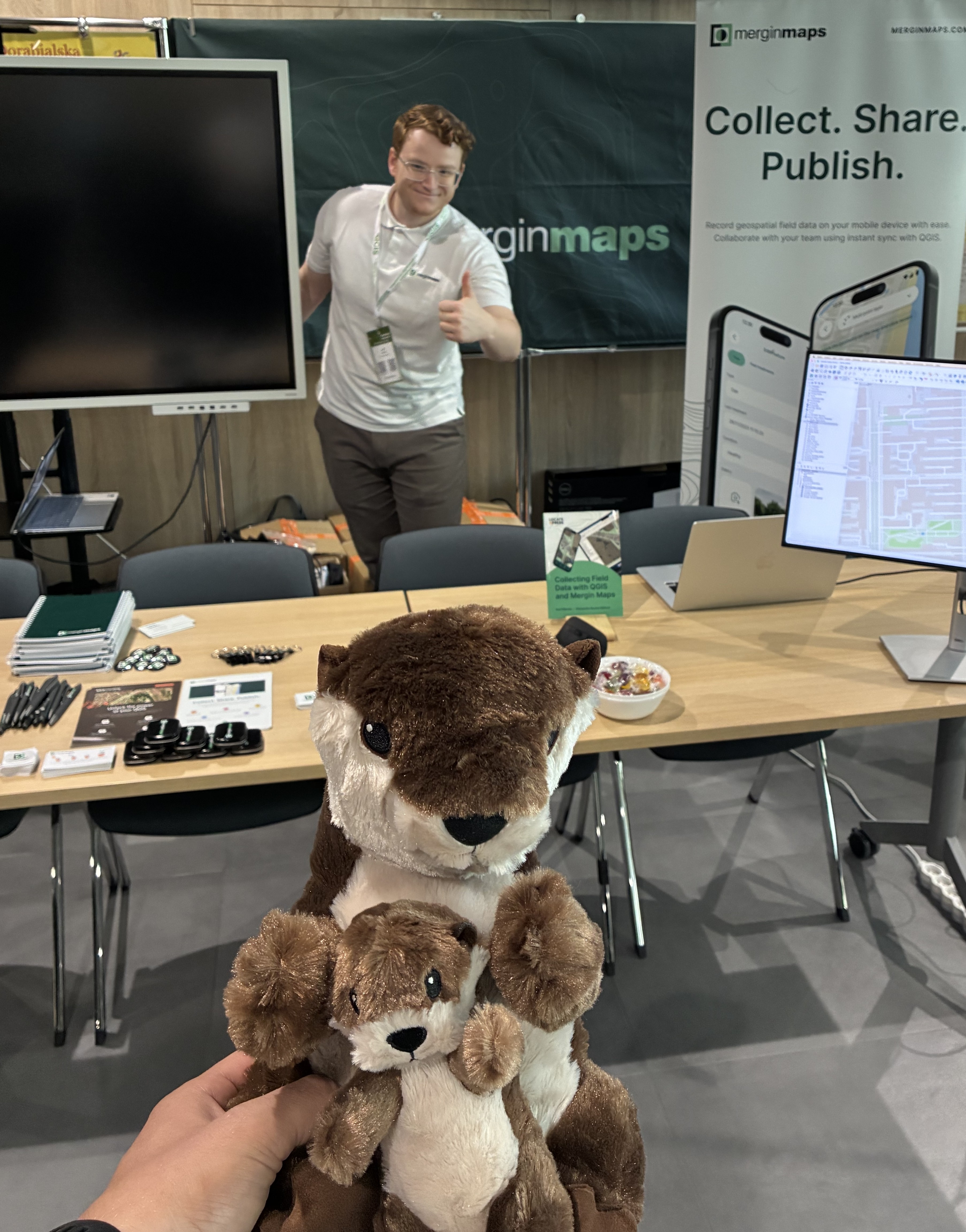
A major highlight at our stand was demonstrating the user-friendly features of Mergin Maps. We set up a QR code linking directly to a project map. Visitors scanned the code with their mobile devices and watched data synchronisation happen in real time.
We want to extend our heartfelt thanks to the organisers who took exceptional care of everyone, managing everything from parking to venue support flawlessly.
The superb outdoor social event offered the perfect setting to connect, unwind, and celebrate the power of open-source GIS together. Thank you for organising the event, we are looking forward to attending next year!
Let's make the QGIS work for you
Lutra Consulting is a QGIS-focused expert provider of geospatial software development, consulting, training, and support services.

.jpg)