In previous posts, we covered two important results of our QGIS 3D for Open Source Digital Twins crowdfunding campaign: native support for ESRI Scene Layers (I3S) in part 1, and the new point cloud processing algorithms in part 2. This third and final post covers under the hood enhancements: vector data in the 3D map view, and the rendering quality improvements that came with it. Our colleague Martin Dobias walked through these features in a recent webinar, and this post follows that talk closely.
https://youtube.com/live/vYjgWgeccLI?feature=share
The campaign was fully funded at its €75,000 target, and the features below have already landed across QGIS 4.0 and QGIS 4.2. None of this happens without the QGIS community backing it, so thank you again to everyone who supported the campaign.
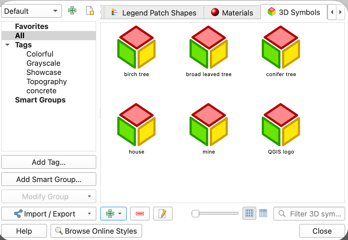
Point, line and polygon 3D symbols can now be saved to the style database, alongside your existing 2D symbols, so you no longer need to reload a model and set up its scale and axes from scratch every time you reuse it.

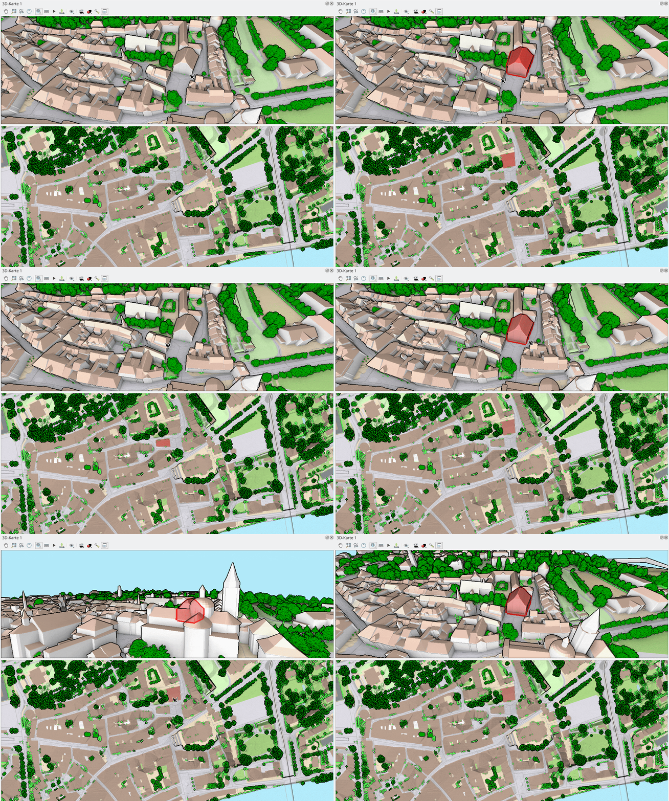
Identifying a feature now highlights it in the 3D view as well as the 2D view, with a semi-transparent fill and a silhouette outline that stays visible even when the feature is hidden behind other objects.
3D point symbols needed the most substantial rework. Previously, using your own OBJ or glTF model instead of one of the built-in primitives (e.g. a cube or a sphere) would slow the 3D view to a crawl or crash it outright with as few as a couple of hundred objects.
QGIS now uses instanced rendering for 3D points: instead of asking the GPU to draw a model once per feature, it hands the model to the GPU once along with every position it needs to appear at, and the GPU draws it thousands of times in a single pass. This helps with both memory use and frame rate, and it no longer crashes QGIS.
That rework came with a new, custom-built loader for OBJ and glTF, which are now the two formats QGIS fully supports for 3D point models. On top of that, 3D points now support data-defined size, rotation and offset through expressions, the same mechanism already used for data-defined properties in 2D, and materials other than Phong shading, which opens the door to more realistic-looking models.
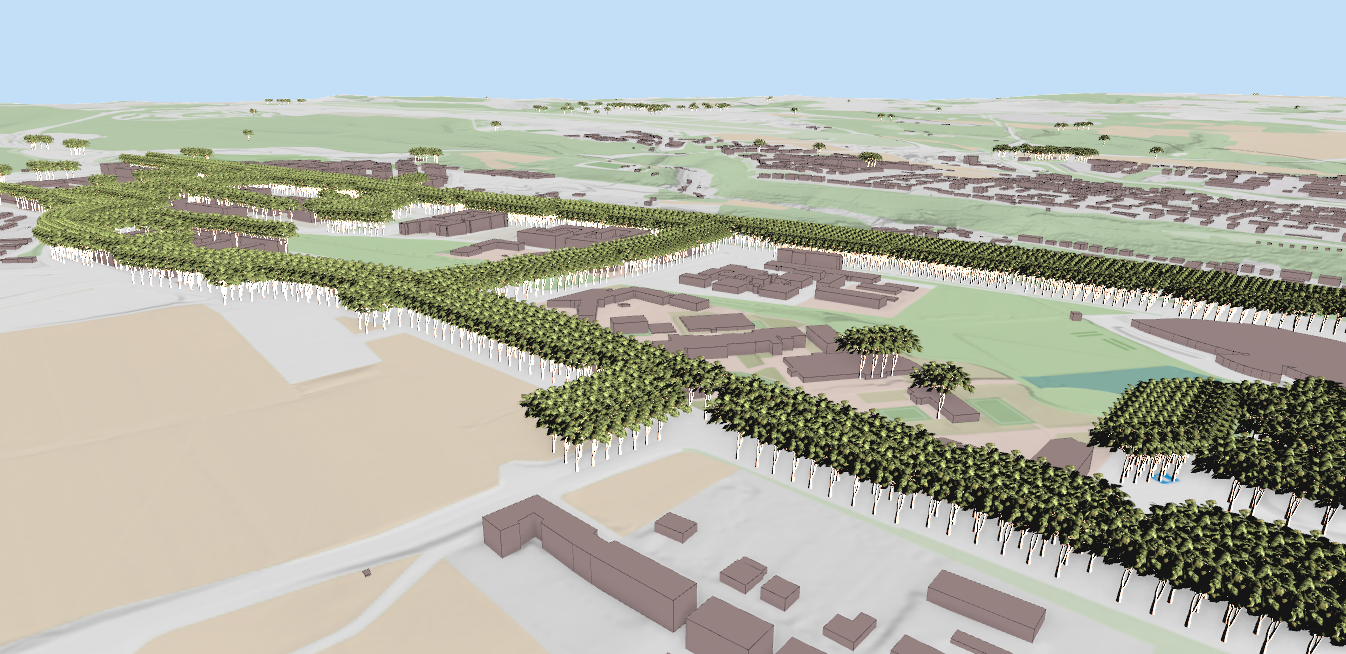
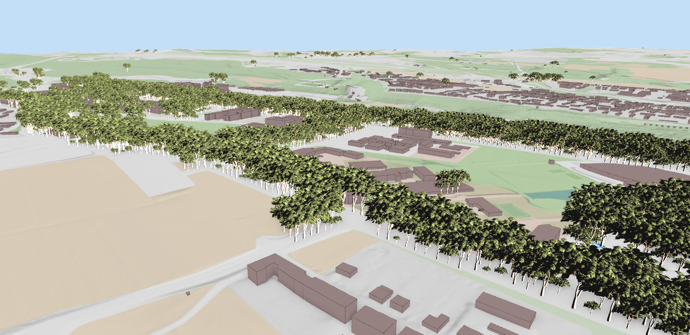
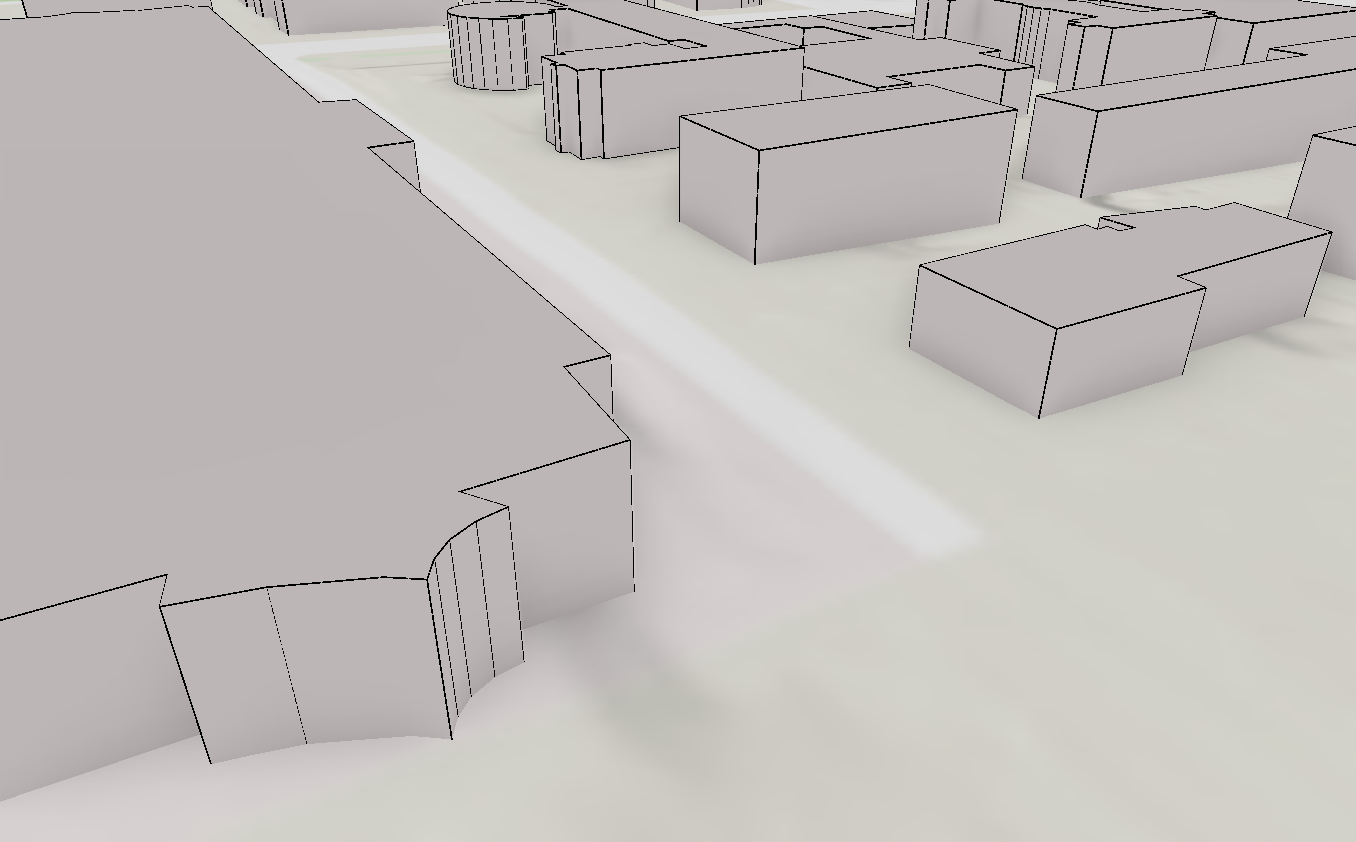
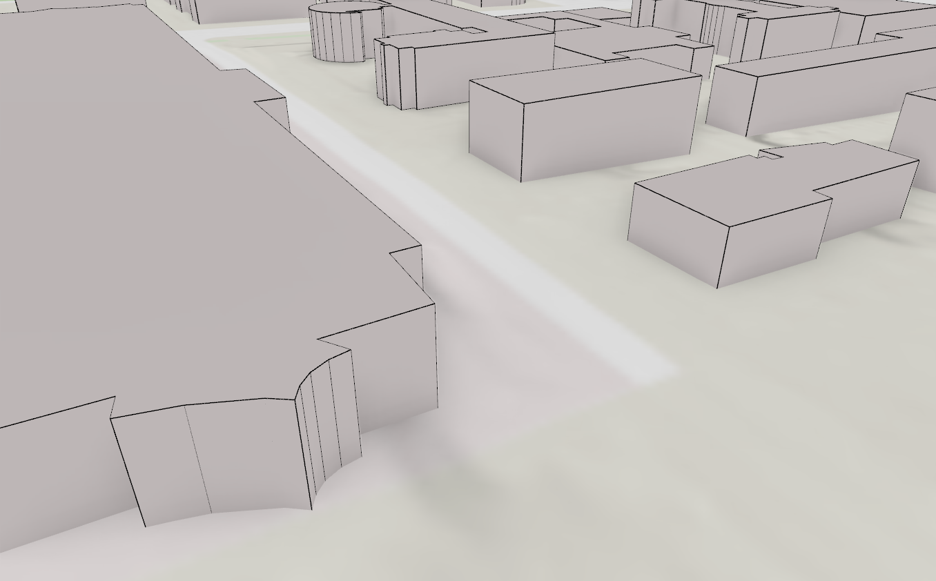
Alongside functionality improvements, we also spent time on rendering quality, to make 3D scenes more pleasant to look at. The main addition here is anti-aliasing. While zooming in on an edge in the 3D view, QGIS previously rendered each pixel as either fully white or fully black, with nothing in between. With anti-aliasing enabled, those edge pixels are blended instead, giving noticeably smoother lines throughout the scene, on extruded building edges and 3D symbol outlines alike.
A second, smaller improvement is the gradient background: instead of the flat white background QGIS used by default, you can now choose a colour for the top and bottom of the canvas and let QGIS blend between them. The gradient stays fixed and does not move with the camera.
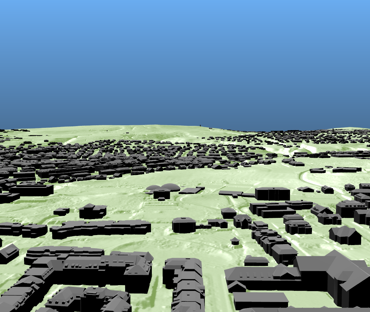
QGIS’s 3D views could already show vector data (e.g as extruded polygons, 3D objects and 3D lines/polygon data) before this campaign. The main problem was performance, and during this project we tried to tackle the main ones:
.gif)
A separate set of rendering features landed in QGIS 4.2 from North Road, and they are well worth crediting on their own:
Two consultancies, funded by the same community, contributing complementary work to the same release: this is what a healthy open-source ecosystem looks like. Thank you, North Road.
This concludes our three-part series on the QGIS 3D crowdfunding campaign. If you haven’t already, download the latest QGIS release and try these features for yourself: load your own OBJ or glTF models onto a point layer, turn on anti-aliasing in the 3D view settings, or set the sun as a light source and try loading large 3D vector data to see how QGIS handles it..
QGIS 3D still has a long list of improvements ahead, including a move away from the now-deprecated Qt 3D framework, so there is a good chance of another crowdfunding campaign in the near future. Keep an eye out for it, and thank you again to everyone who backed this one.
Let's make the QGIS work for you
Lutra Consulting is a QGIS-focused expert provider of geospatial software development, consulting, training, and support services.