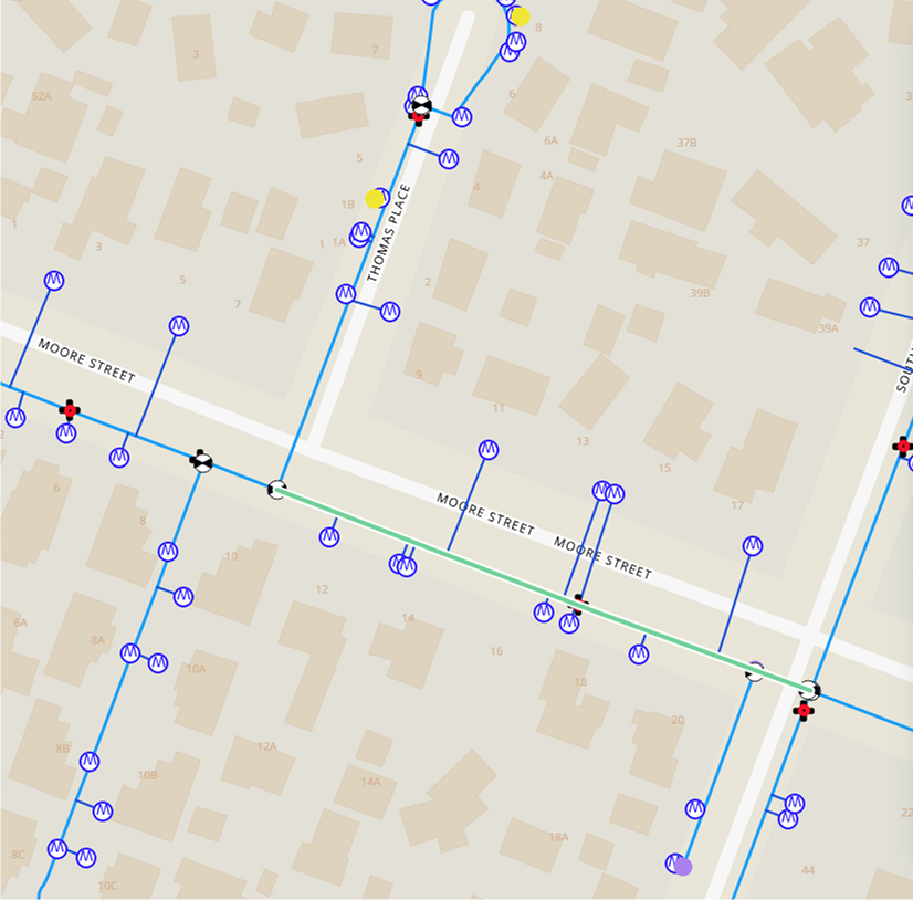
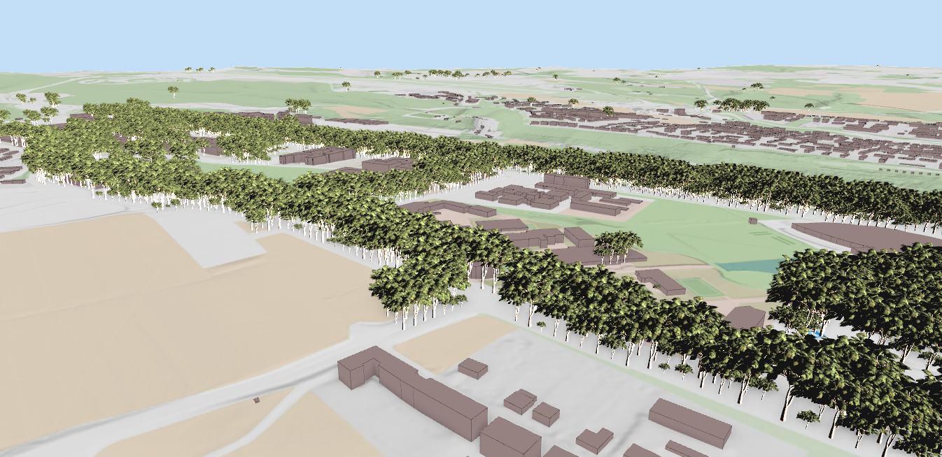
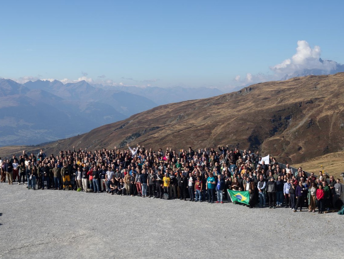
The QGIS User Conference 2026 took place in Laax, Switzerland, on 5 and 6 October, with a workshop day on 7 October. The main venue, LAAX Galaaxy, is at Crap Sogn Gion, 2,222 m above sea level. You take a gondola to get to the talks, and during the breaks most people were outside looking at the mountains.
It was a busy week for us. Martin Dobias, Jan Caha, Stefanos Natsis and I gave five talks between us. We also ran three workshops with our friends at Camptocamp and Septima, and some of our developers stayed on for the contributor meeting afterwards.
Non-Earth Coordinate Reference Systems improvements (Jan Caha)
Mergin Maps in 2025/26 (Saber Razmjooei)
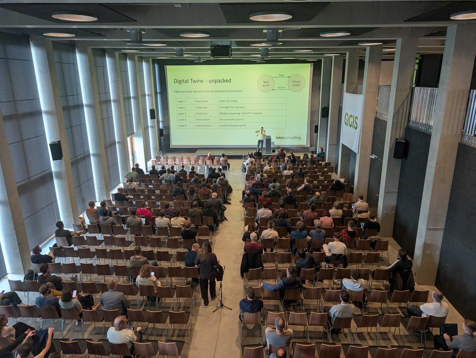
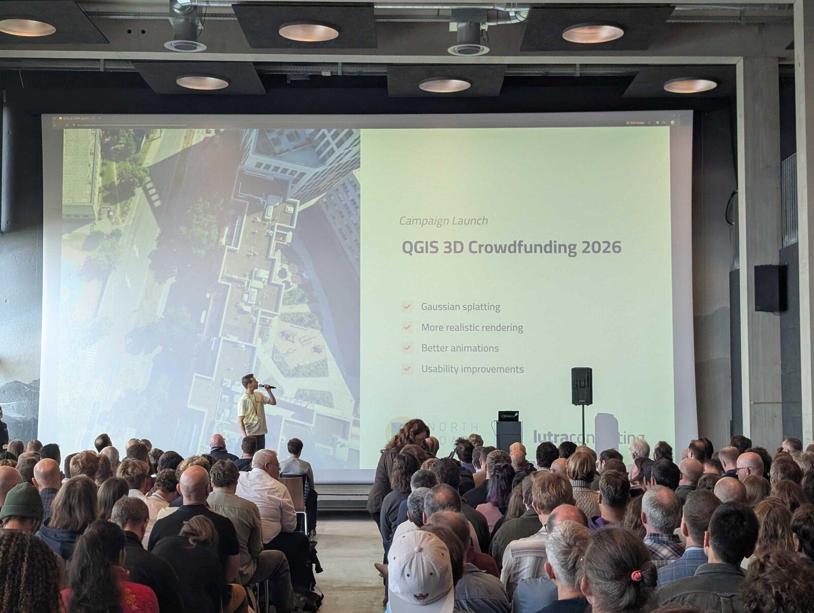
QGIS 3D and Digital Twins (Martin Dobias)
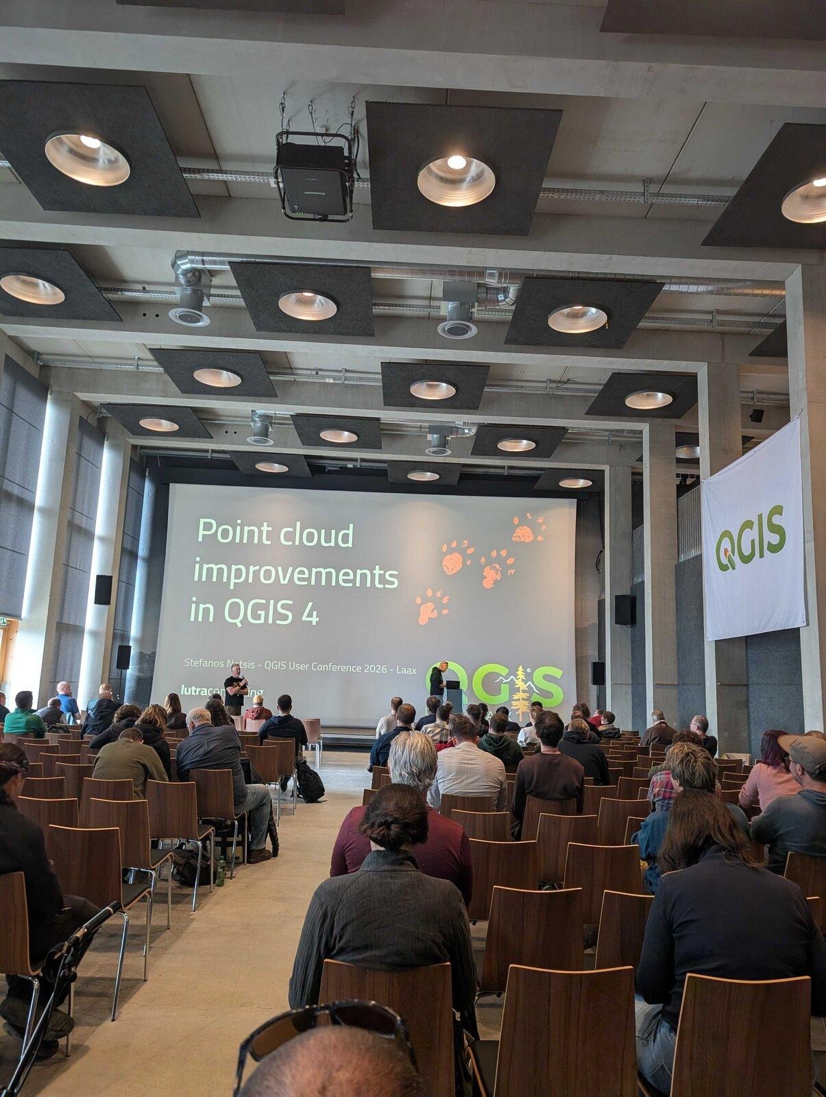
Point cloud improvements in QGIS 4 (Stefanos Natsis)
State of web map publishing in QGIS (Martin Dobias)
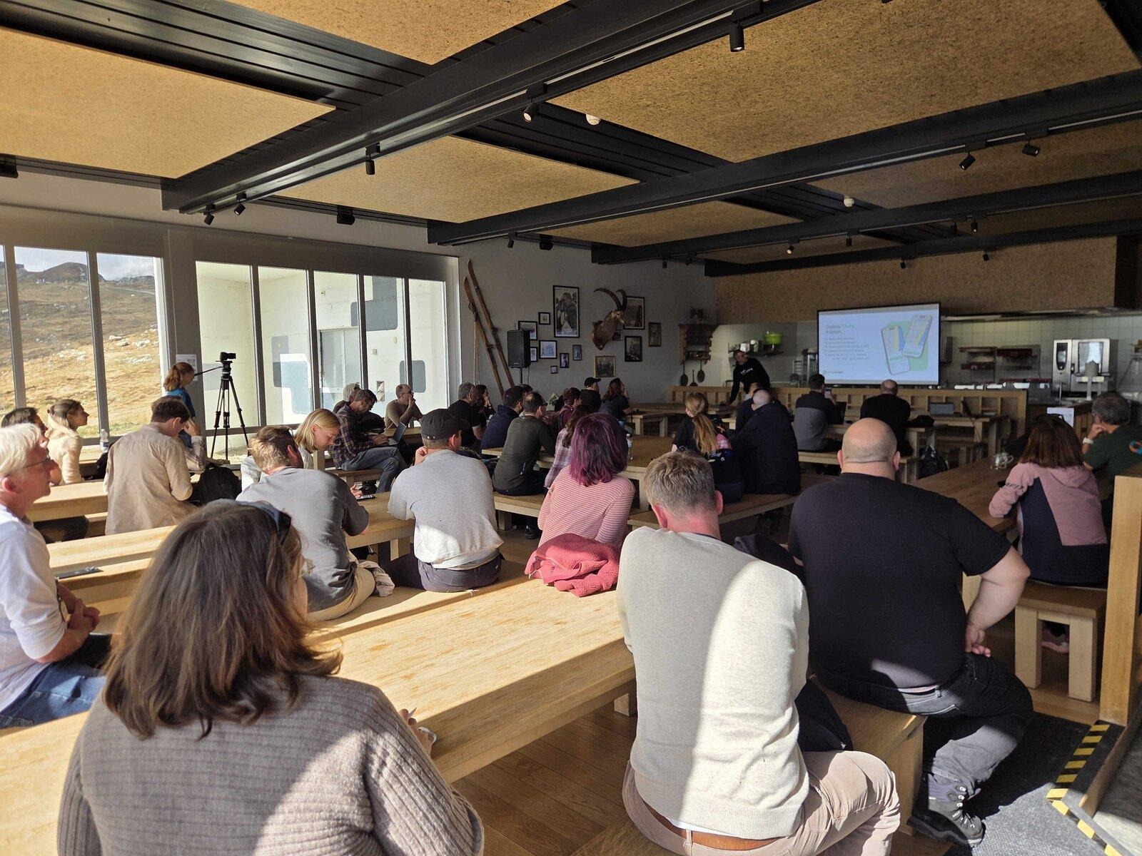
Wednesday was the workshop day, and we ran two half-day workshops on Mergin Maps with our friends and partners from Camptocamp: Getting started with Mergin Maps and Setting up your own self-hosted data capture infrastructure with Mergin Maps.
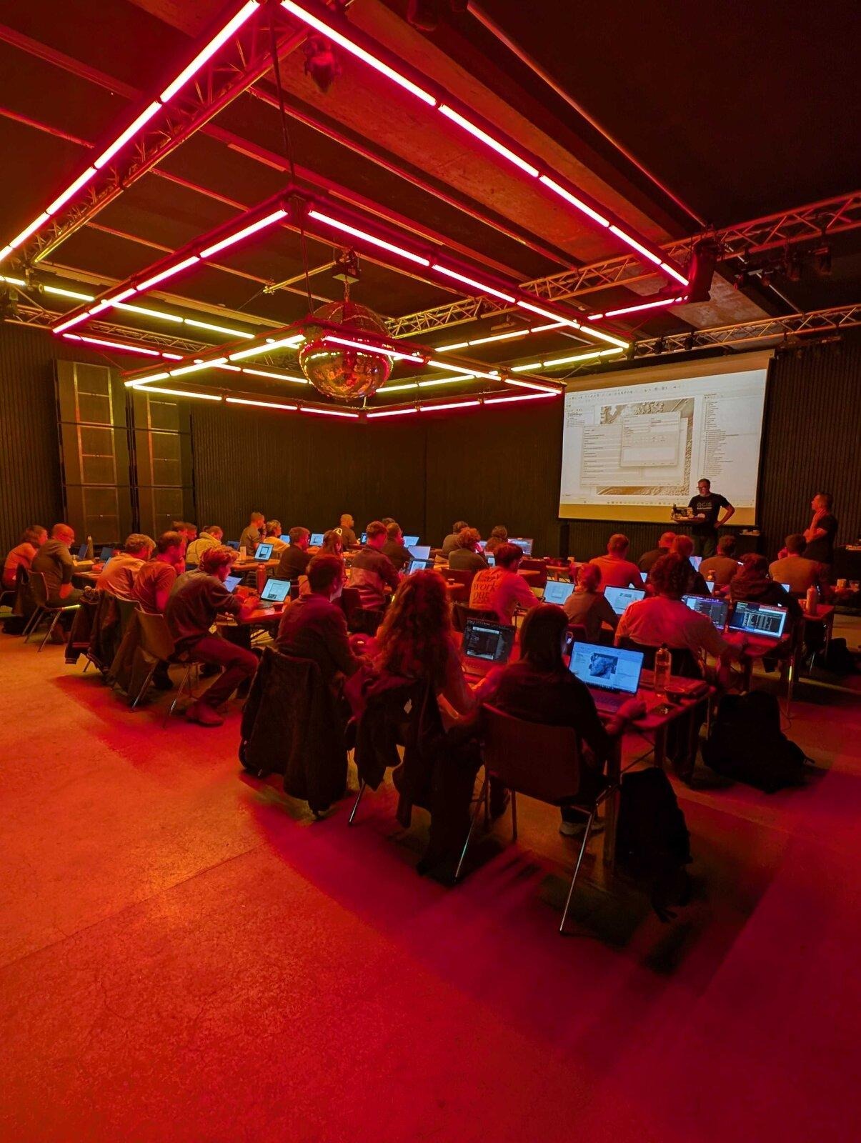
Working with Point Cloud Data in QGIS, with Septima was held in a night club and was the busiest workshop (for obvious reasons!)
After the workshops, the 29th QGIS Contributor Meeting took place from 7 to 9 October in a venue next to the conference, and some of our developers stayed for it. Contributor meetings are where developers, documentation writers and others who work on QGIS get together to fix bugs, plan and talk about the project.
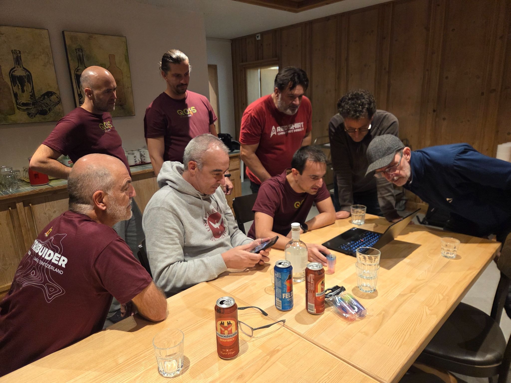
Many topics came up during the contributors’ meeting: AI, security, infrastructure and several lightning talks about cool things built with QGIS.
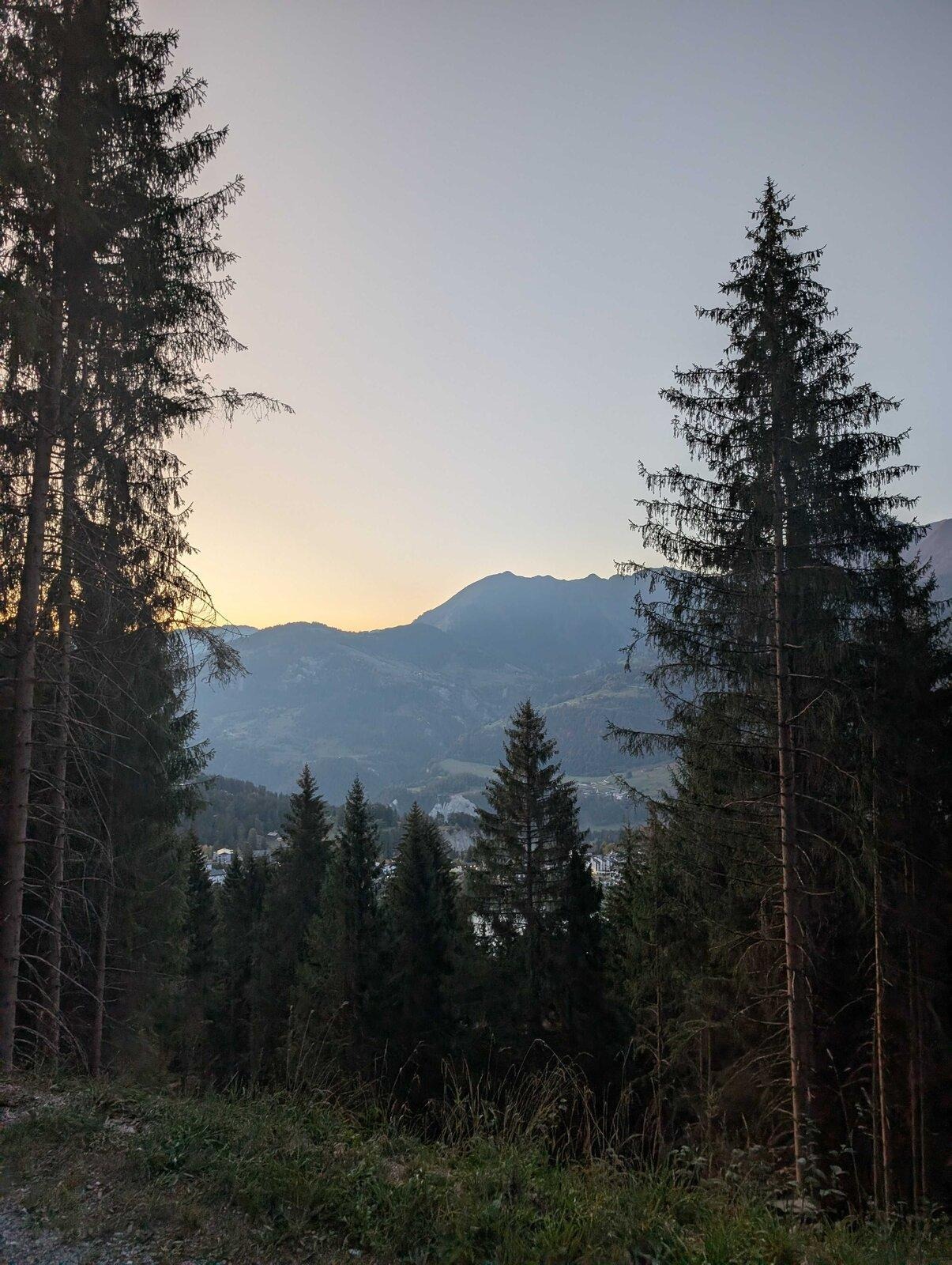
On Tuesday I skipped the gondola and ran up to the venue instead: 13.3 km and about 1,340 m of climbing from Laax to Crap Sogn Gion, starting before sunrise. I definitely earned my coffee at the top.
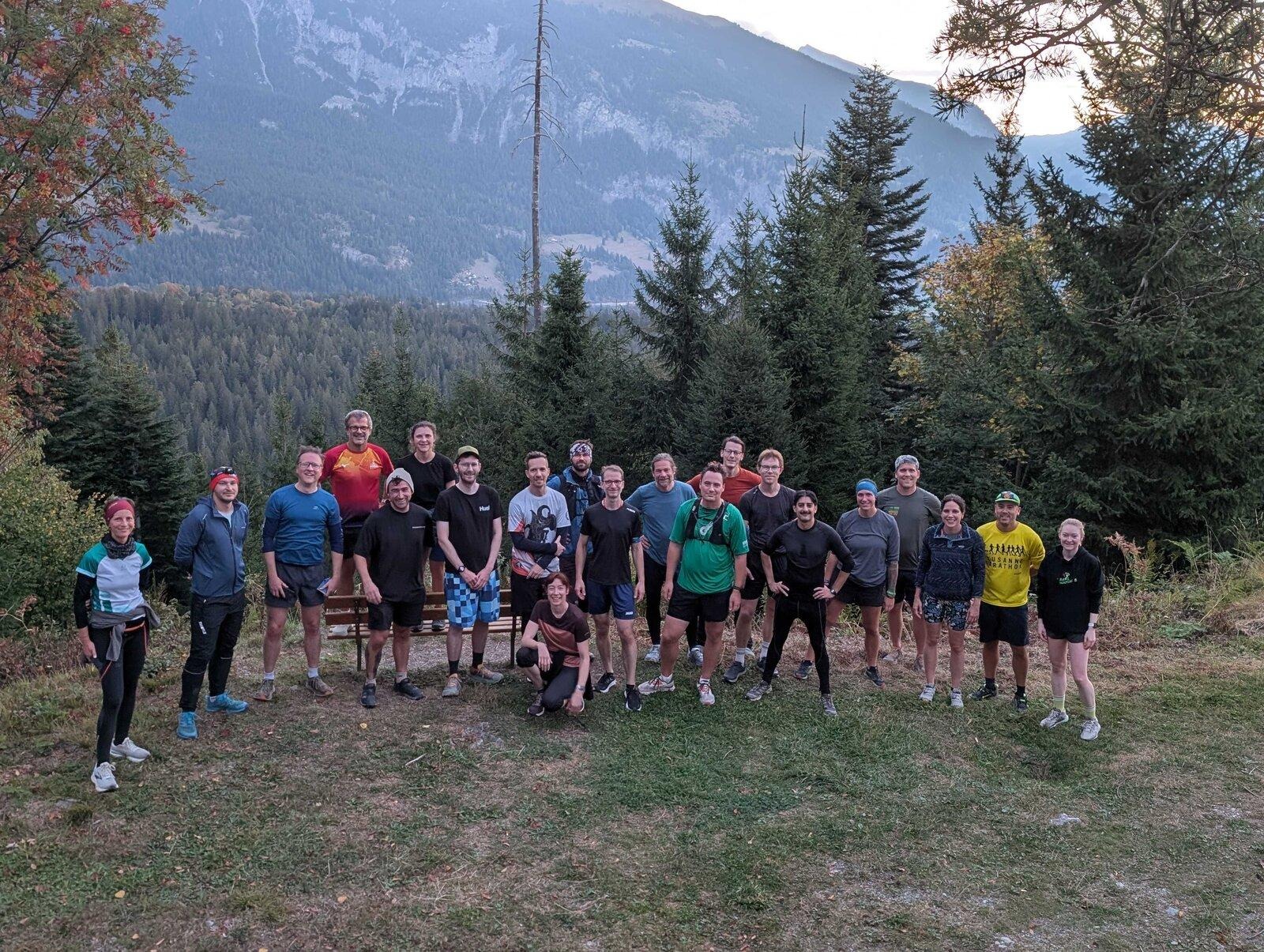
On Wednesday morning, before the workshops, a group of us joined the 6 km trail run organised by the conference, through the forest above Laax.
I also put both runs on a map, using the Laax basemap from our workshop, and published it as a Mergin Maps web map.
Both runs on the Laax basemap, with the venues of our talks and workshops
The map shows the two runs, the venues of our talks and workshops, and the photos I took during the week.
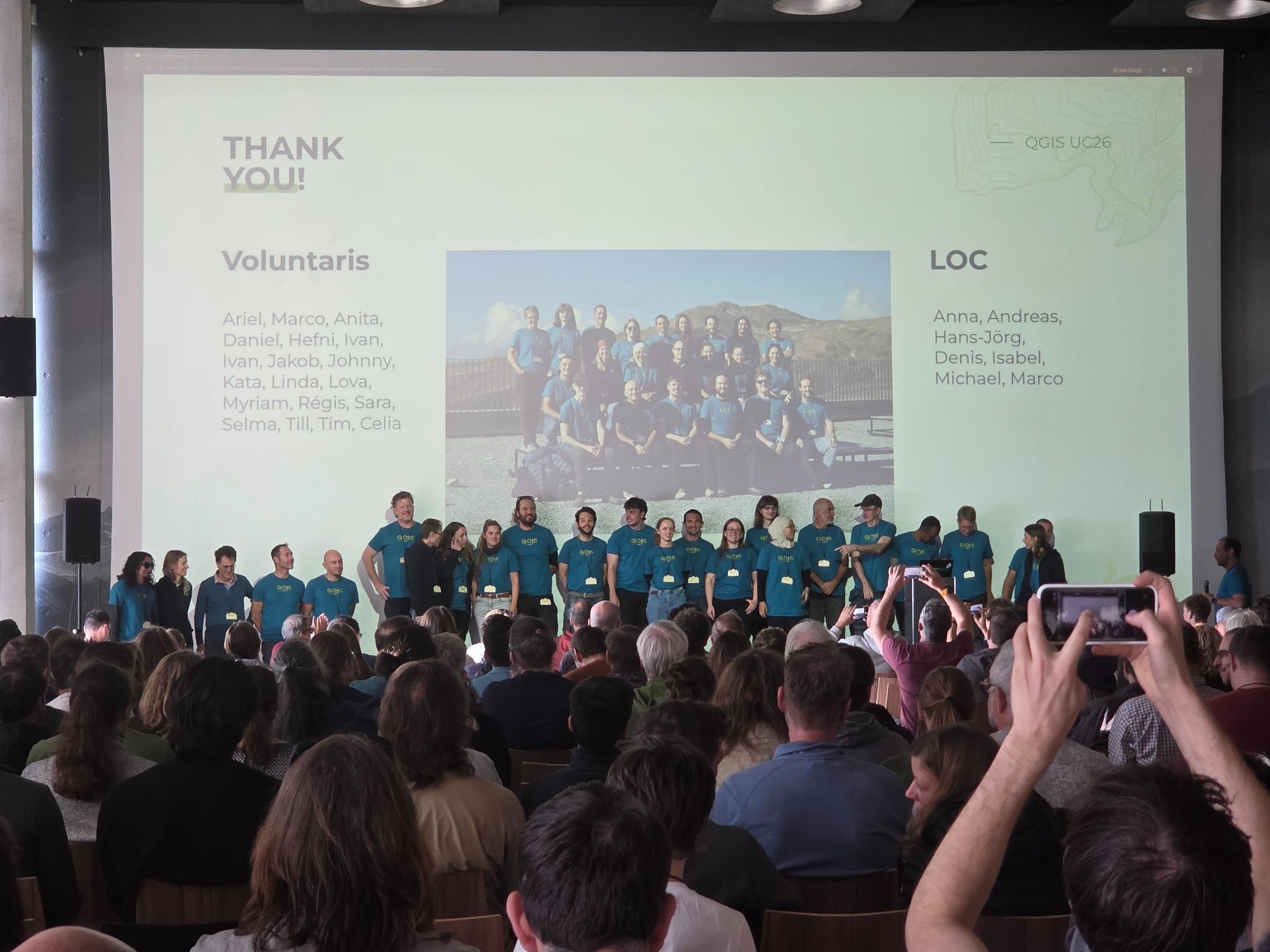
Thanks to the organisers, volunteers and sponsors for a great conference in a remarkable place. Thanks also to Julien and Camptocamp, and to Kurt and Septima, for the workshops, and to everyone who came to our talks and workshops with questions and ideas.
If you would like to know more about anything in this post, get in touch. See you at the next one!
Let's make the QGIS work for you
Lutra Consulting is a QGIS-focused expert provider of geospatial software development, consulting, training, and support services.